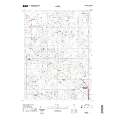
2021 Map of Lake Zurich
USGS Topo · Published 2021About this map
Lake Zurich sits at the heart of this suburban landscape, surrounded by a dense network of residential developments and municipal boundaries including Hawthorn Woods, Kildeer, and Deer Park. The 2021 data reflects a region defined by its glacial lakes, where smaller bodies of water like Sylvan Lake, Forest Lake, and Diamond Lake provide the geographic anchors for local neighborhoods. The map illustrates the contemporary expansion of the northwest Chicago suburbs, where historic crossroads like Quentin Corners and Staples Corner have been integrated into a complex grid of state routes and arterial roads.
Find a feature on this map
85 named features on this map. Tap any name to fly to it.
Don’t see what you’re looking for? This feature index may not catch every label — zoom into the map to look around manually.
Map Details
Editions of this 2021 Lake Zurich Map
This is the sole edition of this map. No revisions or reprints were ever made.
Other maps of this area
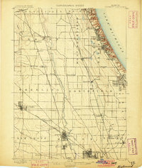
1900 · Highwood
USGS Topo · 1:62,500
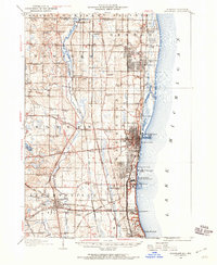
1906 · Waukegan
USGS Topo · 1:62,500
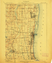
1908 · Waukegan
USGS Topo · 1:62,500
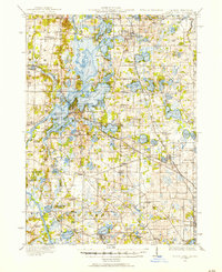
1920 · Grays Lake
USGS Topo · 1:62,500
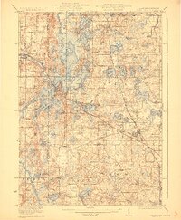
1923 · Grays Lake
USGS Topo · 1:62,500
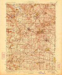
1923 · Barrington
USGS Topo · 1:62,500
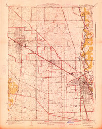
1927 · Arlington Heights
USGS Topo · 1:24,000
1928 · Wheeling
USGS Topo · 1:24,000
1935 · Barrington
USGS Topo · 1:62,500
1953 · Arlington Heights
USGS Topo · 1:24,000