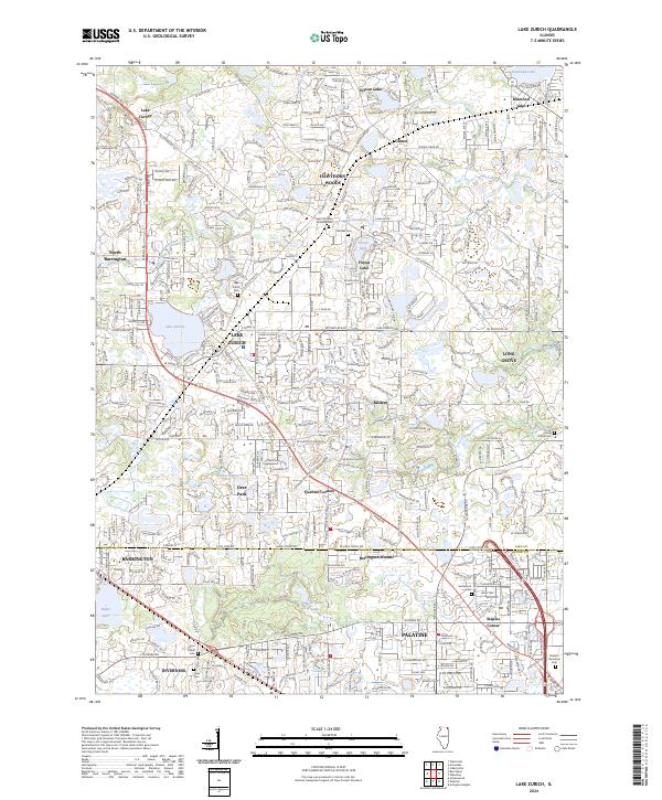
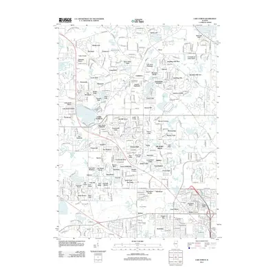
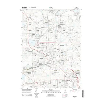
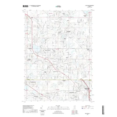
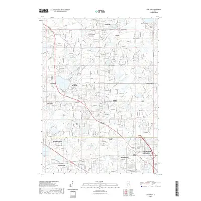
2024 Map of Lake Zurich
USGS Topo · Published 2024About this map
Lake Zurich and its surrounding suburban landscape are defined by a complex network of glacial lakes and modern residential development. This contemporary topographic record details the high-density road networks that have integrated historic centers like Barrington and Palatine into a continuous residential corridor. Local heritage is preserved in sites such as the Saint Matthew Lutheran Cem and Fairfield Cem, while large environmental preserves like Deer Grove provide a contrast to the nearby clusters of Hawthorn Woods and Kildeer.
Find a feature on this map
78 named features on this map. Tap any name to fly to it.
Don’t see what you’re looking for? This feature index may not catch every label — zoom into the map to look around manually.
Map Details
Editions of this 2024 Lake Zurich Map
This is the sole edition of this map. No revisions or reprints were ever made.
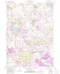
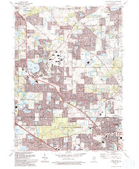
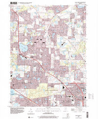
Historical Maps of Arlington Heights Through Time
8 maps found
Featured Locations
- Barrington, IL
- Arlington Heights, IL
- Mundelein, IL
- Palatine, Palatine Township
- Lake Zurich, Ela Township