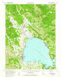
1958 Map of Lakeport
USGS Topo · Published 1962About this map
Clear Lake dominates this mid-century survey, surrounded by established settlements and ancestral lands. The county seat of Lakeport shows its concentrated development along Rumsey Bay, while several tribal lands including Robinson Rancheria and the Upper Lake (Pomo) Rancheria reflect the area's complex cultural history. Just north of the lake's edge, the Bloody Island Massacre Historical Marker stands near Rodman Slough, marking a significant site of conflict.
Find a feature on this map
146 named features on this map. Tap any name to fly to it.
Don’t see what you’re looking for? This feature index may not catch every label — zoom into the map to look around manually.
Map Details
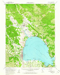
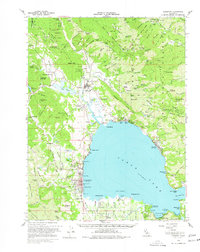
Editions of this 1958 Lakeport Map
3 editions found
Other maps of this area

1920 · Ukiah
USGS Topo · 1:62,500

1921 · Kelseyville
USGS Topo · 1:62,500

1922 · Hullville
USGS Topo · 1:62,500

1924 · Bartlett Springs
USGS Topo · 1:62,500

1938 · Lakeport
USGS Topo · 1:62,500

1938 · Hopland
USGS Topo · 1:62,500

1942 · Bartlett Springs
USGS Topo · 1:62,500

1943 · Pomo
USGS Topo · 1:62,500

1943 · Kelseyville
USGS Topo · 1:62,500

1943 · Hopland
USGS Topo · 1:62,500