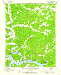
1959 Map of Lakeview Heights
USGS Topo · Published 1960About this map
Lake of the Ozarks dominates the southern landscape of this 1959 revision, where the Osage River carves through the terrain of Benton County. The map documents a rural community centered around agriculture and local institutions, evidenced by the distribution of country schools such as Lutjen Sch and Byler Sch. In the northern section, small-scale industrial activity is marked by several Mines and a Tailings Pond near Cole Camp Creek, contrasting with the recreational and residential development emerging at Lakeview Heights. Religious life is anchored by landmarks like the Ozark Tabernacle and Brushy Chapel, while family history is preserved at Failer Cem and Mossy Cem. The intricate network of hollows, including Brickley Hollow and Sam Allen Hollow, illustrates the complex drainage patterns feeding into the river arm.
Find a feature on this map
33 named features on this map. Tap any name to fly to it.
Don’t see what you’re looking for? This feature index may not catch every label — zoom into the map to look around manually.
Map Details
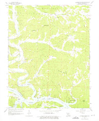
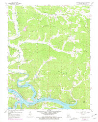
Editions of this 1959 Lakeview Heights Map
3 editions found
Other maps of this area

1887 · Warsaw
USGS Topo · 1:125,000

1894 · Warsaw
USGS Topo · 1:125,000

1935 · Edwards
USGS Topo · 1:24,000

1935 · Dell
USGS Topo · 1:24,000

1935 · Boylers Mill
USGS Topo · 1:24,000

1935 · Knobby Creek
USGS Topo · 1:24,000

1936 · Lakeview Heights
USGS Topo · 1:24,000

1936 · Schuyler
USGS Topo · 1:24,000

1945 · Fristoe
USGS Topo · 1:62,500

1947 · Jefferson City
USGS Topo · 1:250,000