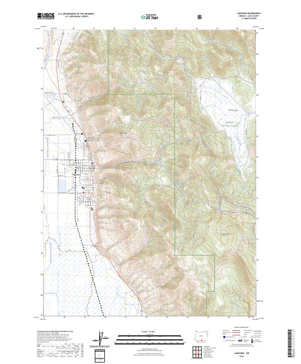
2023 Map of Lakeview
USGS Topo · Published 2023About this map
The Lakeview townsite sits at the western foot of the Warner Mountains, serving as a gateway to the Fremont National Forest. This 2023 survey details the administrative center of Lake County, anchored by the Lake County Courthouse and a dense grid of streets ranging from Center St to the southern reaches of S 11th St. The transition from urban settlement to high-desert wilderness is immediate, with the prominent overlook of Black Cap rising directly east of the residential blocks.
Find a feature on this map
70 named features on this map. Tap any name to fly to it.
Don’t see what you’re looking for? This feature index may not catch every label — zoom into the map to look around manually.
Map Details
Editions of this 2023 Lakeview Map
This is the sole edition of this map. No revisions or reprints were ever made.
Other maps of this area

1955 · Klamath Falls
USGS Topo · 1:250,000

1958 · Klamath Falls
USGS Topo · 1:250,000

1964 · Lakeview NE
USGS Topo · 1:24,000

1964 · Crooked Creek Valley
USGS Topo · 1:24,000

1964 · Lakeview SW
USGS Topo · 1:24,000

1964 · Lakeview NW
USGS Topo · 1:24,000
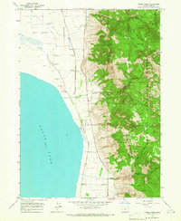
1964 · Crane Creek
USGS Topo · 1:24,000

1964 · Big Baldy
USGS Topo · 1:24,000

1968 · Crook Peak
USGS Topo · 1:24,000
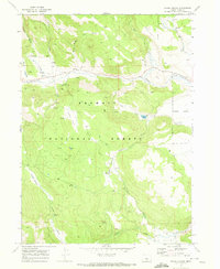
1968 · Horse Prairie
USGS Topo · 1:24,000