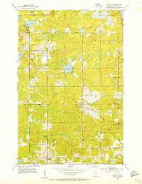
1992 Map of Lakewood
USGS Topo · Published 1995About this map
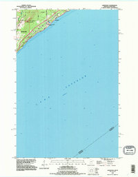
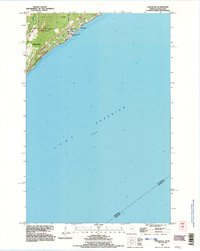
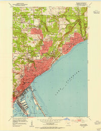
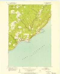
Lake Superior dominates the landscape of this 1990s revision, which captures the coastal transition between northeastern Duluth and the township of Lakewood. The map details a significant stretch of the coastline where the Lester River meets the lake, showing the developed corridor along North Shore Drive and Old North Shore Road. Just inland, the terrain rises sharply toward the summit of Moose Mountain, illustrating the steep topography that defines this region of the North Shore.
Find a feature on this map
16 named features on this map. Tap any name to fly to it.
Don’t see what you’re looking for? This feature index may not catch every label — zoom into the map to look around manually.
Map Details
Editions of this 1992 Lakewood Map
2 editions found
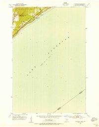
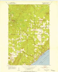
Other maps of this area

1895 · Duluth
USGS Topo · 1:62,500

1915 · Superior
USGS Topo · 1:48,000

1917 · Superior
USGS Topo · 1:62,500

1949 · Poplar
USGS Topo · 1:48,000
1953 · Lakewood
USGS Topo · 1:24,000
1953 · French River
USGS Topo · 1:24,000
1953 · Arnold
USGS Topo · 1:24,000
1953 · Duluth
USGS Topo · 1:24,000
1953 · Knife River
USGS Topo · 1:24,000

1953 · Duluth
USGS Topo · 1:62,500