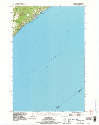
1992 Map of Lakewood
USGS Topo · Published 1996About this map
Lake Superior dominates this coastal landscape, where the rugged shoreline of the North Shore meets the expanding northern reaches of Duluth. The map illustrates a transitional period of suburban development along the historic transportation corridors of Old North Shore Road and North Shore Drive. Significant infrastructure is visible, including the Pumping Station near the water's edge and the small community of Lakewood. Inland, the terrain rises sharply toward the prominence of Moose Mountain, while the Lester River carves a path through the wooded hills. Public spaces like Kitchi Gammi Park highlight the preservation of the lakefront even as the Duluth Corp Boundary pushed toward the suburban settlement at Lakewood.
Find a feature on this map
14 named features on this map. Tap any name to fly to it.
Don’t see what you’re looking for? This feature index may not catch every label — zoom into the map to look around manually.
Map Details
Editions of this 1992 Lakewood Map
2 editions found
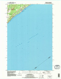
Other maps of this area

1895 · Duluth
USGS Topo · 1:62,500

1915 · Superior
USGS Topo · 1:48,000

1917 · Superior
USGS Topo · 1:62,500

1949 · Poplar
USGS Topo · 1:48,000

1953 · Lakewood
USGS Topo · 1:24,000

1953 · French River
USGS Topo · 1:24,000

1953 · Arnold
USGS Topo · 1:24,000

1953 · Duluth
USGS Topo · 1:24,000

1953 · Knife River
USGS Topo · 1:24,000

1953 · Duluth
USGS Topo · 1:62,500