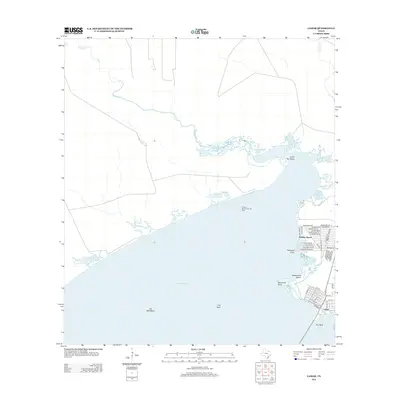
2013 Map of Lamar
USGS Topo · Published 2013About this map
Copano Bay dominates this coastal landscape, where the shifting margins of land and water are defined by a complex network of reefs and points. The settlement of Lamar sits at the southern edge, its residential grid of streets like Hickory St and Pine St meeting the shoreline near Pier Reef. To the north, the planned development of Holiday Beach spreads along the Aransas County coast, characterized by a dense network of residential drives including Channelview Rd and Northview Dr.
Find a feature on this map
47 named features on this map. Tap any name to fly to it.
Don’t see what you’re looking for? This feature index may not catch every label — zoom into the map to look around manually.
Map Details
Editions of this 2013 Lamar Map
This is the sole edition of this map. No revisions or reprints were ever made.
Other maps of this area
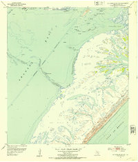
1952 · St. Charles Bay SW
USGS Topo · 1:24,000
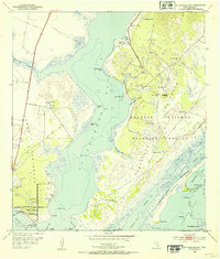
1952 · St. Charles Bay
USGS Topo · 1:24,000
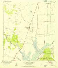
1952 · Tivoli SW
USGS Topo · 1:24,000
1953 · Beeville
USGS Topo · 1:250,000
1954 · Rockport
USGS Topo · 1:62,500
1954 · Vidaurri
USGS Topo · 1:62,500
1956 · Beeville
USGS Topo · 1:250,000
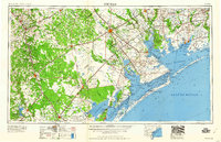
1960 · Beeville
USGS Topo · 1:250,000
1978 · Twin Mott Lake
USGS Topo · 1:24,000
1979 · Mission Bay
USGS Topo · 1:24,000