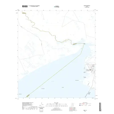
2019 Map of Lamar
USGS Topo · Published 2019About this map
Copano Bay dominates this coastal survey, where the waters of Aransas and Refugio counties meet along a complex shoreline of points and reefs. The residential development at Holiday Beach on the Lamar Peninsula shows a dense network of local roads including Sailfish Dr and Channelview Rd, illustrating the mid-to-late 20th-century growth of this waterfront community. To the south, the Lyndon B Johnson Causeway provides a vital transit link across the water, adjacent to the Pier Reef. The geography is defined by estuarine features like Turtle Pen Point and the winding course of Copano Creek, which feeds into the bay from the northwest. Significant maritime hazards and fishing grounds are noted throughout the bay, including Lap Reef and Copano Reef, highlighting the area's enduring connection to the Texas gulf coast's aquatic economy.
Find a feature on this map
33 named features on this map. Tap any name to fly to it.
Don’t see what you’re looking for? This feature index may not catch every label — zoom into the map to look around manually.
Map Details
Editions of this 2019 Lamar Map
This is the sole edition of this map. No revisions or reprints were ever made.
Other maps of this area
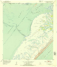
1952 · St. Charles Bay SW
USGS Topo · 1:24,000
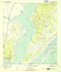
1952 · St. Charles Bay
USGS Topo · 1:24,000
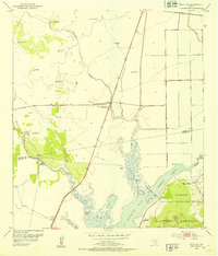
1952 · Tivoli SW
USGS Topo · 1:24,000
1953 · Beeville
USGS Topo · 1:250,000
1954 · Rockport
USGS Topo · 1:62,500
1954 · Vidaurri
USGS Topo · 1:62,500
1956 · Beeville
USGS Topo · 1:250,000
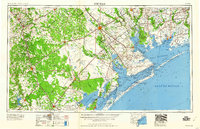
1960 · Beeville
USGS Topo · 1:250,000
1978 · Twin Mott Lake
USGS Topo · 1:24,000
1979 · Mission Bay
USGS Topo · 1:24,000