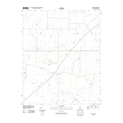
2010 Map of Lamar
USGS Topo · Published 2010About this map
Old Lamar Cemetery serves as a central landmark in this rural landscape straddling the Mississippi-Tennessee border. The terrain is defined by a dense network of small burial grounds and family-named roads, indicating a deeply rooted community structure maintained over generations. Waterways such as Mount Tena Creek, Grays Creek, and the Wolf River drain the region, while labels like Bear Creek Cove highlight specific geographic pockets of settlement. Numerous smaller sites, including Rice Chapel Cemetery, Hickory Hill Cemetery, and Howard Cemetery, are scattered among the farms and creek bottoms. This map records the late-20th-century road network, featuring routes like Sims Chapel Rd and Harris Chapel Rd that hint at the historical locations of local congregations and community centers in this borderland territory.
Find a feature on this map
42 named features on this map. Tap any name to fly to it.
Don’t see what you’re looking for? This feature index may not catch every label — zoom into the map to look around manually.
Map Details
Editions of this 2010 Lamar Map
This is the sole edition of this map. No revisions or reprints were ever made.
Other maps of this area

1949 · Moscow
USGS Topo · 1:62,500

1950 · Ashland
USGS Topo · 1:62,500

1950 · Grand Junction
USGS Topo · 1:24,000

1951 · Grand Junction
USGS Topo · 1:24,000

1953 · Holly Springs
USGS Topo · 1:62,500

1956 · Blytheville
USGS Topo · 1:250,000

1956 · Tupelo
USGS Topo · 1:250,000

1958 · Tupelo
USGS Topo · 1:250,000

1959 · Blytheville
USGS Topo · 1:250,000

1964 · Holly Springs SE
USGS Topo · 1:24,000