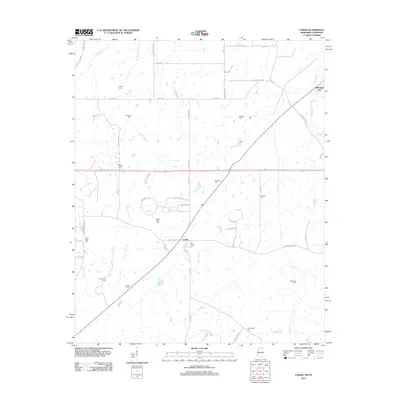
2012 Map of Lamar
USGS Topo · Published 2012About this map
Lamar and Michigan City anchor this northern Mississippi landscape, situated just south of the Tennessee border. The area is defined by a dense network of country cemeteries, many bearing the names of local families and congregations, such as Rice Chapel Cem, Howard Cem, and Frnklin Cem. The terrain is drained by several significant waterways, including Wolf River and Mount Tena Cr, which move through the rural countryside. The mapping of the Old Lamar Cem and Hickory Hill Cem provides specific points of interest for those researching local lineage in Benton County. The road network, including Allen Corner Rd and Sexton Rd, reveals a pattern of agricultural land division and small-scale settlements typical of the region's late-twentieth-century development.
Find a feature on this map
57 named features on this map. Tap any name to fly to it.
Don’t see what you’re looking for? This feature index may not catch every label — zoom into the map to look around manually.
Map Details
Editions of this 2012 Lamar Map
This is the sole edition of this map. No revisions or reprints were ever made.
Other maps of this area

1949 · Moscow
USGS Topo · 1:62,500

1950 · Ashland
USGS Topo · 1:62,500

1950 · Grand Junction
USGS Topo · 1:24,000

1951 · Grand Junction
USGS Topo · 1:24,000

1953 · Holly Springs
USGS Topo · 1:62,500

1956 · Blytheville
USGS Topo · 1:250,000

1956 · Tupelo
USGS Topo · 1:250,000

1958 · Tupelo
USGS Topo · 1:250,000

1959 · Blytheville
USGS Topo · 1:250,000

1964 · Holly Springs SE
USGS Topo · 1:24,000