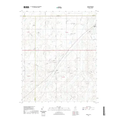
2021 Map of Lamar
USGS Topo · Published 2021About this map
Lamar and Michigan City anchor this rural landscape along the Tennessee-Mississippi border, where the headwaters of the Wolf River and Chubby Creek carve a network of ridges and bottoms. This area is characterized by its deep-rooted family history, evidenced by a dense collection of burial grounds including the Franklin Family Cem, Howard Family Cem, and Rynehart Cem. The terrain around Mosquito Bend reflects the natural hydrology of the region before significant modern development, with winding waterways like Early Grove Cr and Grays Cr defining the local boundaries. Tracing the numerous country roads such as Rice Chapel Rd and Allen Corner Rd reveals a settlement pattern built around small agricultural clusters and community churches, providing a detailed look at the rural character of Marshall and Benton counties during this era.
Find a feature on this map
65 named features on this map. Tap any name to fly to it.
Don’t see what you’re looking for? This feature index may not catch every label — zoom into the map to look around manually.
Map Details
Editions of this 2021 Lamar Map
This is the sole edition of this map. No revisions or reprints were ever made.
Other maps of this area

1949 · Moscow
USGS Topo · 1:62,500

1950 · Ashland
USGS Topo · 1:62,500

1950 · Grand Junction
USGS Topo · 1:24,000

1951 · Grand Junction
USGS Topo · 1:24,000

1953 · Holly Springs
USGS Topo · 1:62,500

1956 · Blytheville
USGS Topo · 1:250,000

1956 · Tupelo
USGS Topo · 1:250,000

1958 · Tupelo
USGS Topo · 1:250,000

1959 · Blytheville
USGS Topo · 1:250,000

1964 · Holly Springs SE
USGS Topo · 1:24,000