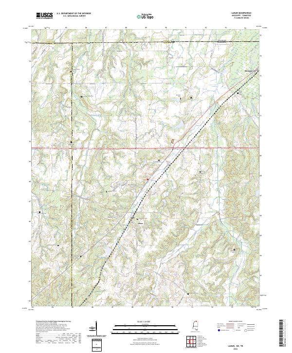
2024 Map of Lamar
USGS Topo · Published 2024About this map
Michigan City and the settlement of Lamar anchor this borderland geography where the Tennessee and Mississippi state line meets the junction of Fayette, Marshall, and Benton counties. The landscape is defined by the winding course of the Wolf River in the northeast and several significant creek systems, including Grays Creek, Mount Tena Creek, and Chubby Creek. For those researching local families, the map is remarkably detailed with small burial grounds, such as the Franklin Family Cem and Howard Family Cem, alongside community landmarks like Rice Chapel Cem and Old Lamar Cem. The network of country roads, including Harris Chapel Rd and Wilburn Rd, traces the historic transit patterns through these rural highlands, providing a clear view of the area's twentieth-century development and land use.
Find a feature on this map
64 named features on this map. Tap any name to fly to it.
Don’t see what you’re looking for? This feature index may not catch every label — zoom into the map to look around manually.
Map Details
Editions of this 2024 Lamar Map
This is the sole edition of this map. No revisions or reprints were ever made.
Other maps of this area

1949 · Moscow
USGS Topo · 1:62,500

1950 · Ashland
USGS Topo · 1:62,500

1950 · Grand Junction
USGS Topo · 1:24,000

1951 · Grand Junction
USGS Topo · 1:24,000

1953 · Holly Springs
USGS Topo · 1:62,500

1956 · Blytheville
USGS Topo · 1:250,000

1956 · Tupelo
USGS Topo · 1:250,000

1958 · Tupelo
USGS Topo · 1:250,000

1959 · Blytheville
USGS Topo · 1:250,000

1964 · Holly Springs SE
USGS Topo · 1:24,000