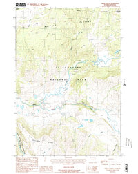
1986 Map of Lamar Canyon
USGS Topo · Published 1986About this map
Yellowstone National Park reveals a wild, high-country landscape where the Lamar River and Slough Creek converge. This 1986 survey documents the intricate drainage systems of the Buffalo Plateau and the prominent volcanic topography of Specimen Ridge. The map illustrates the specialized wilderness infrastructure of the era, marking several segments of the Pack Trail system and a lone Corral near Crystal Creek. The presence of a Gravel Pit near the river indicates the localized maintenance requirements for the primitive roads through Lamar Canyon. Collectors of park history can trace the headwaters of numerous named tributaries, including Amethyst Creek, Jasper Creek, and Quartz Creek, which feed into the valley floor.
Find a feature on this map
17 named features on this map. Tap any name to fly to it.
Don’t see what you’re looking for? This feature index may not catch every label — zoom into the map to look around manually.
Map Details
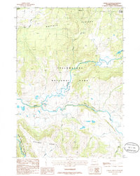
Editions of this 1986 Lamar Canyon Map
2 editions found
Other maps of this area

1886 · Canyon
USGS Topo · 1:125,000

1891 · Livingston
USGS Topo · 1:250,000

1893 · Livingston
USGS Topo · 1:250,000

1895 · Canyon
USGS Topo · 1:125,000

1896 · Canyon
USGS Topo · 1:125,000

1901 · Canyon
USGS Topo · 1:125,000

1907 · Canyon
USGS Topo · 1:125,000

1911 · Canyon
USGS Topo · 1:125,000

1940 · Mt Wallace
USGS Topo · 1:62,500

1942 · Cutoff Mtn
USGS Topo · 1:62,500