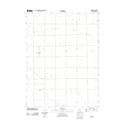
2011 Map of Lamar
USGS Topo · Published 2011About this map
Lamar serves as the primary hub in this Chase County landscape, centered around the Lamar Post Office and the intersection of Pawnee St. The surrounding countryside is defined by a rigid section-line road network, including thoroughfares like Brandon Rd and numerous numbered avenues and roads. Water management and natural drainages dictate the geography of the plains here, with Wildhorse Creek cutting across the northern sections while Frenchman Creek and Walnut Slough drain the southern portions toward the Arterburn Reservoir. For those researching local heritage, the Green Lawn Cemetery stands as a significant landmark south of the main settlement. The map illustrates a contemporary rural Nebraska environment where agricultural land use is integrated with essential water infrastructure and a precisely surveyed grid of county roads.
Find a feature on this map
24 named features on this map. Tap any name to fly to it.
Don’t see what you’re looking for? This feature index may not catch every label — zoom into the map to look around manually.
Map Details
Editions of this 2011 Lamar Map
This is the sole edition of this map. No revisions or reprints were ever made.
Other maps of this area

1954 · Sterling
USGS Topo · 1:250,000

1954 · McCook
USGS Topo · 1:250,000

1957 · McCook
USGS Topo · 1:250,000

1958 · McCook
USGS Topo · 1:250,000

1958 · Sterling
USGS Topo · 1:250,000

1961 · Lamar NE
USGS Topo · 1:24,000

1961 · Lamar
USGS Topo · 1:24,000

1961 · Lamar NW
USGS Topo · 1:24,000

1962 · Amherst NE
USGS Topo · 1:24,000

1971 · Amherst SE
USGS Topo · 1:24,000