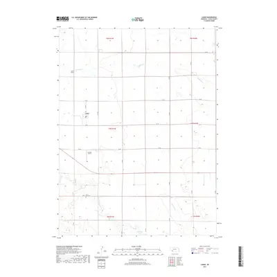
2017 Map of Lamar
USGS Topo · Published 2017About this map
Lamar sits as the central point of activity in this Chase County landscape, situated where the high plains are carved by intermittent watercourses. The town is flanked by the long reach of Wildhorse Cr to the north and the meandering path of Frenchman Cr to the south. This area demonstrates a classic western Nebraska settlement pattern, where section roads like 314 Ave and 741 Rd create a rigid grid across the undulating terrain. Local history and genealogy interests are anchored by the Green Lawn Cem south of the main settlement, while the presence of the Larrabee Airport and Arterburn Lake indicate the specialized infrastructure and water management essential for this agricultural region.
Find a feature on this map
26 named features on this map. Tap any name to fly to it.
Don’t see what you’re looking for? This feature index may not catch every label — zoom into the map to look around manually.
Map Details
Editions of this 2017 Lamar Map
This is the sole edition of this map. No revisions or reprints were ever made.
Other maps of this area

1954 · Sterling
USGS Topo · 1:250,000

1954 · McCook
USGS Topo · 1:250,000

1957 · McCook
USGS Topo · 1:250,000

1958 · McCook
USGS Topo · 1:250,000

1958 · Sterling
USGS Topo · 1:250,000

1961 · Lamar NE
USGS Topo · 1:24,000

1961 · Lamar
USGS Topo · 1:24,000

1961 · Lamar NW
USGS Topo · 1:24,000

1962 · Amherst NE
USGS Topo · 1:24,000

1971 · Amherst SE
USGS Topo · 1:24,000