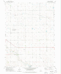
1973 Map of Lamar
USGS Topo · Published 1977About this map
The village of Lamar serves as a small hub within the agricultural landscape of Chase County during the early 1970s. This survey illustrates the importance of water management and rural infrastructure in the High Plains, featuring the winding path of Frenchman Creek and its tributary, Sand Draw. The mapping of numerous wells across the terrain reflects the region's reliance on groundwater for ranching and farming operations.
Find a feature on this map
9 named features on this map. Tap any name to fly to it.
Don’t see what you’re looking for? This feature index may not catch every label — zoom into the map to look around manually.
Map Details
Editions of this 1973 Lamar Map
This is the sole edition of this map. No revisions or reprints were ever made.
Other maps of this area
1954 · Sterling
USGS Topo · 1:250,000
1954 · McCook
USGS Topo · 1:250,000
1957 · McCook
USGS Topo · 1:250,000
1958 · McCook
USGS Topo · 1:250,000
1958 · Sterling
USGS Topo · 1:250,000
1961 · Lamar NE
USGS Topo · 1:24,000
1961 · Lamar
USGS Topo · 1:24,000
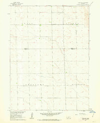
1961 · Lamar NW
USGS Topo · 1:24,000
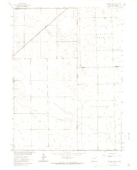
1962 · Amherst NE
USGS Topo · 1:24,000
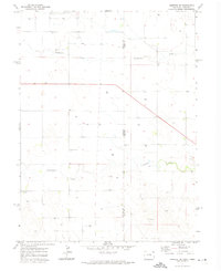
1971 · Amherst SE
USGS Topo · 1:24,000