
1964 Map of Lamar
USGS Topo · Published 1965About this map
The agrarian landscape along the boundary of Cloud and Ottawa counties comes into sharp focus through the winding paths of Middle Pipe Creek and East Pipe Creek. This mid-century survey captures a rural Kansas community defined by its township structure, spanning the districts of Meredith, Oakland, Logan, and Sherman. The small settlement of Lamar serves as a local anchor in the south, while the surrounding prairie is dotted with the essential institutions of pioneer genealogy, including Meredith Ch and community burial sites like Fairview Cem and Oakland Union Cem. Educational history is preserved through the locations of the Rocky Hill Sch and South Oakland Sch, reflecting a time when rural schoolhouses still served as the primary social hubs for scattered farmsteads. A private Landing Strip in the northeast suggests the modernization of agricultural life during the early 1960s.
Find a feature on this map
17 named features on this map. Tap any name to fly to it.
Don’t see what you’re looking for? This feature index may not catch every label — zoom into the map to look around manually.
Map Details
Editions of this 1964 Lamar Map
This is the sole edition of this map. No revisions or reprints were ever made.
Other maps of this area

1891 · Clay Center
USGS Topo · 1:125,000

1892 · Minneapolis
USGS Topo · 1:125,000

1955 · Manhattan
USGS Topo · 1:250,000

1956 · Manhattan
USGS Topo · 1:250,000

1957 · Manhattan
USGS Topo · 1:250,000

1964 · Miltonvale
USGS Topo · 1:24,000

1965 · Aurora
USGS Topo · 1:24,000
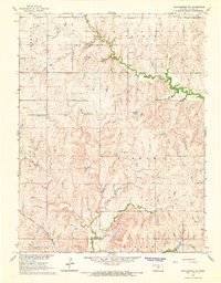
1965 · Manchester NW
USGS Topo · 1:24,000

1965 · Minneapolis North
USGS Topo · 1:24,000
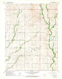
1965 · Aurora SW
USGS Topo · 1:24,000