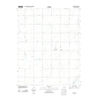
2012 Map of Lambert
USGS Topo · Published 2012About this map
The small settlements of Lambert and Yewed anchor this Alfalfa County landscape, which is defined by the regular grid of section roads and the meandering paths of local waterways. The terrain is drained by several seasonal streams, most notably Cottonwood Cr and Lambert Cr, which cut through the flat agricultural plains. For genealogists and local historians, the Auburn Cem serves as a vital record of the families who settled this portion of the Oklahoma plains. The map reflects a highly organized rural infrastructure, where named section lines like N2560 Rd and E0230 Rd provide the primary framework for movement between farmsteads. Near the center of the quadrangle, the small cluster of roads including Lambert St and 1st St marks the modest footprint of the namesake town, illustrating the persistent, quiet nature of these rural communities in the early 21st century.
Find a feature on this map
33 named features on this map. Tap any name to fly to it.
Don’t see what you’re looking for? This feature index may not catch every label — zoom into the map to look around manually.
Map Details
Editions of this 2012 Lambert Map
This is the sole edition of this map. No revisions or reprints were ever made.
Other maps of this area

1955 · Woodward
USGS Topo · 1:250,000

1958 · Woodward
USGS Topo · 1:250,000

1968 · Carmen
USGS Topo · 1:24,000

1969 · Dacoma
USGS Topo · 1:24,000

1969 · Lambert
USGS Topo · 1:24,000

1969 · Alva SE
USGS Topo · 1:24,000

1969 · Helena
USGS Topo · 1:24,000

1969 · Cherokee North
USGS Topo · 1:24,000

1969 · Ingersoll
USGS Topo · 1:24,000
1969 · Dacoma SE
USGS Topo · 1:24,000