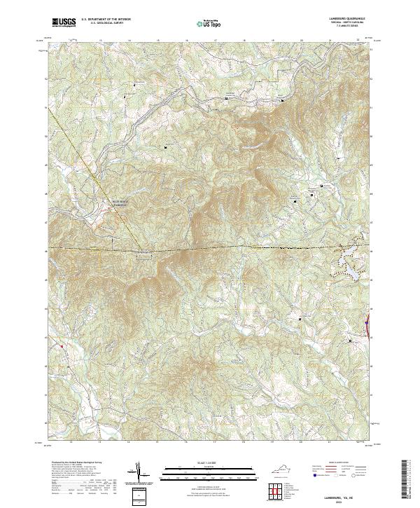
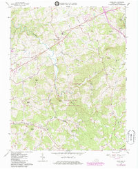
2022 Map of Lambsburg
USGS Topo · Published 2022This historical map portrays the area of Lambsburg in 2022, primarily covering Carroll County as well as portions of North Carolina. Featuring a scale of 1:24000, this map provides a highly detailed snapshot of the terrain, roads, buildings, counties, and historical landmarks in the Lambsburg region at the time. Published in 2022, it is the sole known edition of this map.
Map Details
Editions of this 2022 Lambsburg Map
This is the sole edition of this map. No revisions or reprints were ever made.
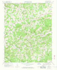
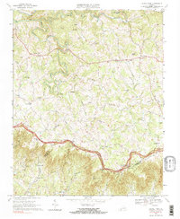
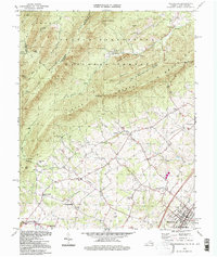
Historical Maps of Grayson County Through Time
16 maps found

1931 Galax
Carroll County, VA

1933 Galax
Carroll County, VA

1956 Macks Mountain
Carroll County, VA
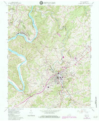
1965 Galax
Carroll County, VA
1965 Lambsburg
Carroll County, VA
1965 Sylvatus
Carroll County, VA
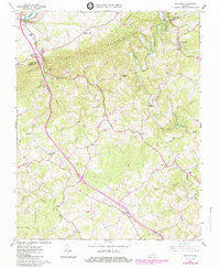
1965 Woodlawn
Carroll County, VA
1968 Dugspur
Carroll County, VA
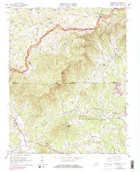
1968 Laurel Fork
Carroll County, VA
1994 Woodlawn
Carroll County, VA
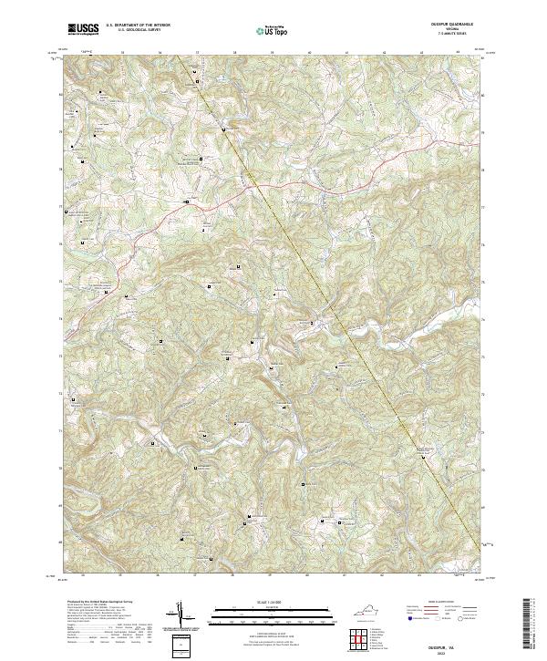
2022 Dugspur
Carroll County, VA
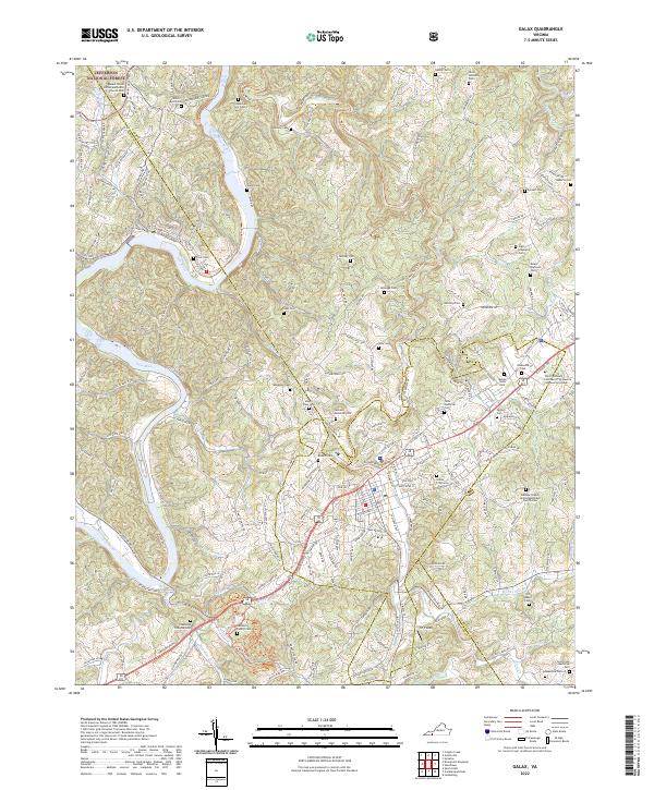
2022 Galax
Carroll County, VA
2022 Lambsburg
Carroll County, VA
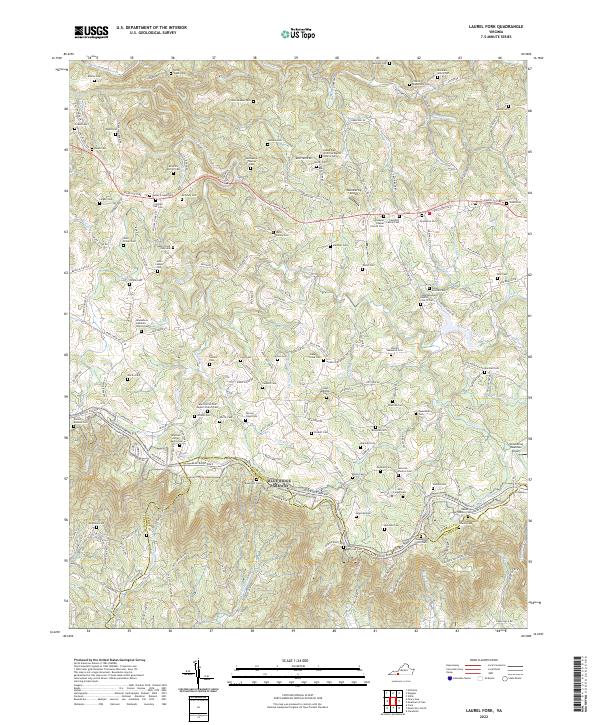
2022 Laurel Fork
Carroll County, VA
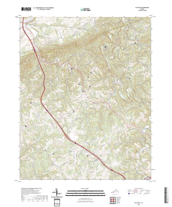
2022 Sylvatus
Carroll County, VA
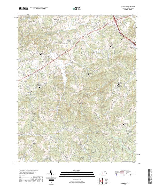
2022 Woodlawn
Carroll County, VA