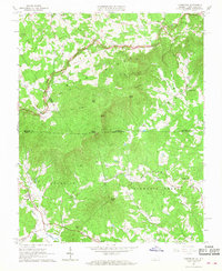
1965 Map of Lambsburg
USGS Topo · Published 1968About this map
Blue Ridge mountain terrain dominates this mid-1960s survey, straddling the border between Virginia and North Carolina. The landscape is defined by high ridges like Lashley Ridge and Flint Ridge, which separate the headwaters of the Fisher River and Stewarts Creek. The Blue Ridge Parkway snakes across the northern elevations, passing through Pipers Gap and near a Lookout Tower on a prominent peak.
Find a feature on this map
55 named features on this map. Tap any name to fly to it.
Don’t see what you’re looking for? This feature index may not catch every label — zoom into the map to look around manually.
Map Details
Editions of this 1965 Lambsburg Map
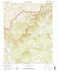
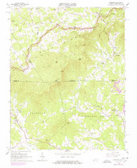
Other maps of this area

1889 · Hillsville
USGS Topo · 1:125,000

1891 · Yadkinville
USGS Topo · 1:125,000

1892 · Hillsville
USGS Topo · 1:125,000

1893 · Yadkinville
USGS Topo · 1:125,000

1896 · Hillsville
USGS Topo · 1:125,000

1931 · Galax
USGS Topo · 1:48,000

1933 · Galax
USGS Topo · 1:62,500

1953 · Winston-Salem
USGS Topo · 1:250,000

1955 · Winston-Salem
USGS Topo · 1:250,000

1957 · Mount Airy
USGS Topo · 1:62,500