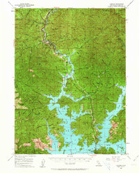
1957 Map of Lamoine
USGS Topo · Published 1964About this map
The sprawling reservoir of Shasta Lake dominates this mid-century survey of the California northern mountains, where the filling of the reservoir transformed the landscape into a labyrinth of bays and inlets. Along the narrow northern corridor, the Southern Pacific railroad and U.S. 99 track the winding Sacramento River through early settlements like Lamoine and Vollmers. This era represents a period of significant transition, where historic mining and timber outposts met the new economy of recreation at the Upper Salt Creek Resort and Lower Salt Creek Resort.
Find a feature on this map
103 named features on this map. Tap any name to fly to it.
Don’t see what you’re looking for? This feature index may not catch every label — zoom into the map to look around manually.
Map Details
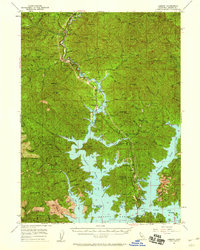
Editions of this 1957 Lamoine Map
2 editions found
Other maps of this area

1886 · Shasta
USGS Topo · 1:250,000

1890 · Red Bluff
USGS Topo · 1:250,000

1894 · Red Bluff
USGS Topo · 1:250,000

1894 · Shasta
USGS Topo · 1:250,000

1901 · Redding
USGS Topo · 1:125,000

1913 · Weaverville
USGS Topo · 1:125,000

1923 · Sawyers Bar
USGS Topo · 1:125,000

1931 · Etna
USGS Topo · 1:96,000

1934 · Etna
USGS Topo · 1:125,000

1935 · Dunsmuir
USGS Topo · 1:125,000