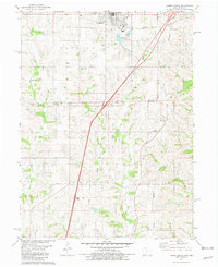
1981 Map of Lamoni South
USGS Topo · Published 1981About this map
Lamoni serves as the primary hub of this landscape, notably home to Graceland College and the surrounding campus. The 1981 terrain reflects the intersection of the Burlington Northern railroad and several vital waterways, including Big Creek and East Fork Big Creek. Agriculture and local community life are anchored by several rural churches and burial grounds like Otterbein Ch, Olaf Ch, and the Rose Hill Cem on the outskirts of town. A heavy transit corridor is indicated by the Weigh Station south of the city, while the state line between Iowa and Missouri bisects the southern half of the sheet, crossing through Colfax and New Buda townships. Small settlements like Andover and Giles Junction mark the outlying areas, preserving the rural character of Decatur and Harrison counties before significant modern development.
Find a feature on this map
30 named features on this map. Tap any name to fly to it.
Don’t see what you’re looking for? This feature index may not catch every label — zoom into the map to look around manually.
Map Details
Editions of this 1981 Lamoni South Map
2 editions found
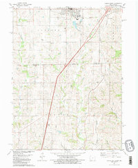
Other maps of this area

1945 · Mount Ayr
USGS Topo · 1:62,500

1945 · Lamoni
USGS Topo · 1:62,500

1947 · Lamoni
USGS Topo · 1:62,500

1947 · Blythedale
USGS Topo · 1:62,500

1947 · Mount Ayr
USGS Topo · 1:62,500

1948 · Bethany
USGS Topo · 1:62,500

1954 · Centerville
USGS Topo · 1:250,000

1955 · Nebraska City
USGS Topo · 1:250,000

1957 · Nebraska City
USGS Topo · 1:250,000

1957 · Centerville
USGS Topo · 1:250,000