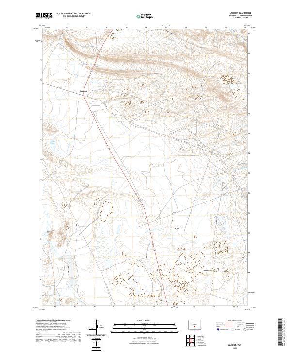
2021 Map of Lamont
USGS Topo · Published 2021About this map
Lamont serves as the primary point of settlement in this high-desert landscape, situated where the terrain begins its ascent toward the mountains. The hydrological character of the region is defined by intermittent drainages and critical water sources like Lost Soldier Lake and the aptly named Big Sand Spring. A network of seasonal waterways including Lost Soldier Cr, Sand Springs Cr, and Iron Springs Cr dictates the local geography, converging near the prominent Rocky Draw. Transportation through this expanse is facilitated by the Ferris Rd and Ferris Mtn Ranch Rd, which provide access to ranching operations and highland grazing areas. This survey illustrates the sparse but essential infrastructure required for life in Carbon County's arid interiors.
Find a feature on this map
13 named features on this map. Tap any name to fly to it.
Don’t see what you’re looking for? This feature index may not catch every label — zoom into the map to look around manually.
Map Details
Editions of this 2021 Lamont Map
This is the sole edition of this map. No revisions or reprints were ever made.
Other maps of this area

1955 · Casper
USGS Topo · 1:250,000

1958 · Casper
USGS Topo · 1:250,000

1960 · Separation Rim
USGS Topo · 1:24,000

1960 · Bull Springs
USGS Topo · 1:24,000

1960 · Boggy Meadows
USGS Topo · 1:24,000

1961 · Lamont NE
USGS Topo · 1:24,000

1961 · Lamont
USGS Topo · 1:24,000

1961 · Bairoil
USGS Topo · 1:24,000

1962 · Casper
USGS Topo · 1:250,000

1962 · Whiskey Peak
USGS Topo · 1:24,000