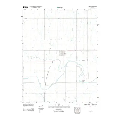
2009 Map of Lamont
USGS Topo · Published 2009About this map
Lamont sits at the center of this 2009 survey, surrounded by the agricultural and energy-producing lands of Grant County. The town is flanked by numerous tributaries, including Spring Creek and Boggy Creek, which eventually feed into the Salt Fork Arkansas River. This river corridor is a defining geographic element, marked by features such as Whitworth Bend and the smaller Negro Creek.
Find a feature on this map
26 named features on this map. Tap any name to fly to it.
Don’t see what you’re looking for? This feature index may not catch every label — zoom into the map to look around manually.
Map Details
Editions of this 2009 Lamont Map
This is the sole edition of this map. No revisions or reprints were ever made.
Other maps of this area

1955 · Enid
USGS Topo · 1:250,000

1958 · Enid
USGS Topo · 1:250,000

1968 · Lamont SE
USGS Topo · 1:24,000

1968 · Lamont NW
USGS Topo · 1:24,000

1968 · Deer Creek
USGS Topo · 1:24,000

1968 · Billings
USGS Topo · 1:24,000

1968 · Hunter
USGS Topo · 1:24,000

1968 · Eddy
USGS Topo · 1:24,000

1968 · Nardin
USGS Topo · 1:24,000

1968 · Medford
USGS Topo · 1:24,000