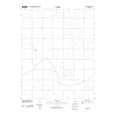
2009 Map of Lamont NW
USGS Topo · Published 2009About this map
The Salt Fork Arkansas River carves a wide, serpentine path across this Grant County landscape, defining the local topography and drainage patterns. This 2009 survey reveals a rural Oklahoma environment where energy production and agriculture intersect, most notably at the Rich Valley Oil Field. The area is characterized by a precise section-line road network, including routes like e0190 RD and n2950 RD, which serve a series of established family and community landmarks.
Find a feature on this map
27 named features on this map. Tap any name to fly to it.
Don’t see what you’re looking for? This feature index may not catch every label — zoom into the map to look around manually.
Map Details
Editions of this 2009 Lamont NW Map
This is the sole edition of this map. No revisions or reprints were ever made.
Other maps of this area

1955 · Enid
USGS Topo · 1:250,000

1958 · Enid
USGS Topo · 1:250,000

1968 · Lamont SE
USGS Topo · 1:24,000

1968 · Lamont NW
USGS Topo · 1:24,000

1968 · Deer Creek
USGS Topo · 1:24,000

1968 · Hunter
USGS Topo · 1:24,000

1968 · Wakita SE
USGS Topo · 1:24,000

1968 · Kremlin
USGS Topo · 1:24,000

1968 · Medford
USGS Topo · 1:24,000

1968 · Lamont
USGS Topo · 1:24,000