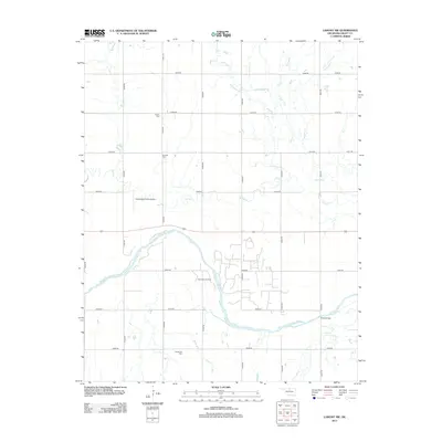
2013 Map of Lamont NW
USGS Topo · Published 2013About this map
The Salt Fork Arkansas River defines the lower third of this Grant County landscape, winding through a region where the agricultural grid meets the energy economy. This 2013 survey reveals the industrial footprint of the Rich Valley Oil Field situated north of the river, contrasted by the quiet preservation of local heritage in rural burial grounds like Fairview Cem, Goldsmith Cem, and Liberty Cem. The northern terrain is characterized by a series of north-south drainage networks including Bullwacker Cr, Cottonwood Cr, and Polecat Cr that feed into the larger river basin. Infrastructure like the Dolan Bridge and Homestead Farms Airport indicates the modern connectivity required for this sprawling prairie environment, while the strictly numbered road system such as e0200 RD and n2970 RD reflects the organized township-and-range surveying that shaped Oklahoma.
Find a feature on this map
26 named features on this map. Tap any name to fly to it.
Don’t see what you’re looking for? This feature index may not catch every label — zoom into the map to look around manually.
Map Details
Editions of this 2013 Lamont NW Map
This is the sole edition of this map. No revisions or reprints were ever made.
Other maps of this area

1955 · Enid
USGS Topo · 1:250,000

1958 · Enid
USGS Topo · 1:250,000

1968 · Lamont SE
USGS Topo · 1:24,000

1968 · Lamont NW
USGS Topo · 1:24,000

1968 · Deer Creek
USGS Topo · 1:24,000

1968 · Hunter
USGS Topo · 1:24,000

1968 · Wakita SE
USGS Topo · 1:24,000

1968 · Kremlin
USGS Topo · 1:24,000

1968 · Medford
USGS Topo · 1:24,000

1968 · Lamont
USGS Topo · 1:24,000