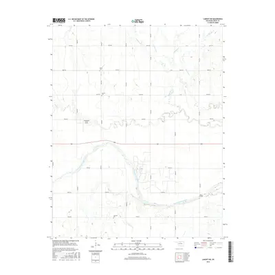
2016 Map of Lamont NW
USGS Topo · Published 2016About this map
The Salt Fork Arkansas River carves a winding path through the heart of Grant County, anchoring a landscape shaped by rural industry and drainage. The river's broad floodplains are fed by a network of tributaries including Bullwacker Cr and Polecat Cr, which cut through the agricultural sections defined by the county's section-line road system. This 2016 survey illustrates a persistent agrarian pattern, where localized landmarks like the Homestead Farms Airport and the Dolan Bridge serve as critical infrastructure for the surrounding community.
Find a feature on this map
32 named features on this map. Tap any name to fly to it.
Don’t see what you’re looking for? This feature index may not catch every label — zoom into the map to look around manually.
Map Details
Editions of this 2016 Lamont NW Map
This is the sole edition of this map. No revisions or reprints were ever made.
Other maps of this area

1955 · Enid
USGS Topo · 1:250,000

1958 · Enid
USGS Topo · 1:250,000

1968 · Lamont SE
USGS Topo · 1:24,000

1968 · Lamont NW
USGS Topo · 1:24,000

1968 · Deer Creek
USGS Topo · 1:24,000

1968 · Hunter
USGS Topo · 1:24,000

1968 · Wakita SE
USGS Topo · 1:24,000

1968 · Kremlin
USGS Topo · 1:24,000

1968 · Medford
USGS Topo · 1:24,000

1968 · Lamont
USGS Topo · 1:24,000