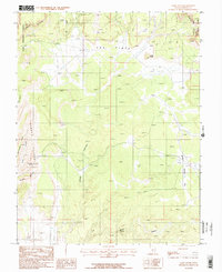
1987 Map of Lamp Stand
USGS Topo · Published 1987About this map
Circle Cliffs define the western reaches of this high-desert landscape in Garfield County, where the transition from protected wilderness to managed forest is clearly delineated. The boundary between Capitol Reef National Park and Dixie National Forest cuts across the northeastern corner, anchoring a region dominated by dramatic mesas like King Bench and Rattlesnake Bench. The namesake Lamp Stand landmark rises above The Flats, a high plateau punctuated by early exploration sites.
Find a feature on this map
29 named features on this map. Tap any name to fly to it.
Don’t see what you’re looking for? This feature index may not catch every label — zoom into the map to look around manually.
Map Details
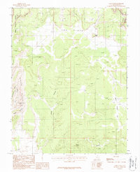
Editions of this 1987 Lamp Stand Map
2 editions found
Other maps of this area

1885 · Fish Lake
USGS Topo · 1:250,000

1886 · Escalante
USGS Topo · 1:250,000

1896 · Fish Lake
USGS Topo · 1:250,000

1952 · Notom 4 SE
USGS Topo · 1:24,000

1952 · Notom 4 SW
USGS Topo · 1:24,000

1952 · Notom 3 SE
USGS Topo · 1:24,000

1952 · Grover
USGS Topo · 1:62,500

1952 · Notom
USGS Topo · 1:62,500

1953 · Circle Cliffs 1 SE
USGS Topo · 1:24,000

1953 · Circle Cliffs 2 NE
USGS Topo · 1:24,000