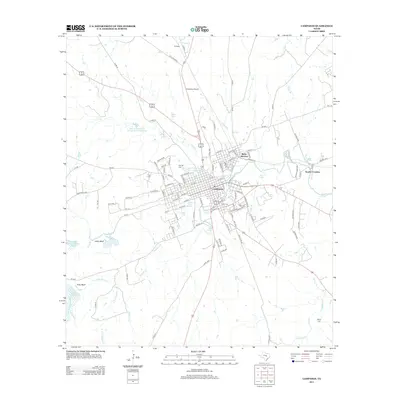
2013 Map of Lampasas
USGS Topo · Published 2013About this map
The city of Lampasas serves as the focal point of this Central Texas landscape, positioned at the convergence of numerous local waterways including Sulphur Cr and Burleson Cr. The town's historic reliance on its mineral waters is evident through several named springs, such as Hancock Springs, Gooch Spring, and the Swimming Pool Spring, which helped establish the area as a late 19th-century resort destination. The transportation network is anchored by the Santa Fe RR, which parallels the northern outskirts of town, and the Lampasas Airport located to the north.
Find a feature on this map
130 named features on this map. Tap any name to fly to it.
Don’t see what you’re looking for? This feature index may not catch every label — zoom into the map to look around manually.
Map Details
Editions of this 2013 Lampasas Map
This is the sole edition of this map. No revisions or reprints were ever made.
Other maps of this area

1887 · Lampasas
USGS Topo · 1:125,000

1887 · Burnet
USGS Topo · 1:125,000

1893 · Burnet
USGS Topo · 1:125,000

1894 · Lampasas
USGS Topo · 1:125,000

1903 · Burnet
USGS Topo · 1:125,000

1909 · Burnet
USGS Topo · 1:125,000

1932 · Tow
USGS Topo · 1:62,500

1954 · Brownwood
USGS Topo · 1:250,000

1954 · Lampasas
USGS Topo · 1:62,500

1954 · Lampasas
USGS Topo · 1:24,000