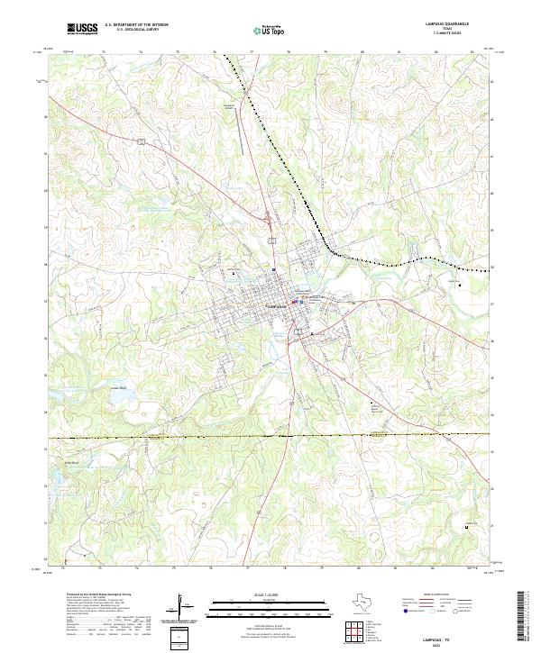
2022 Map of Lampasas
USGS Topo · Published 2022About this map
Lampasas serves as the central hub of this Central Texas landscape, where the confluence of several prominent water sources shaped early development. The city's geography is defined by the flowing waters of Sulphur Creek and the presence of numerous artesian sources such as Hancock Springs, Swimming Pool Spring, and Gooch Spring. The civic center is anchored by the Lampasas County Courthouse, while the surrounding countryside is dotted with historical burial grounds including Oak Hill Cem, Cook Cem, and the Primitive Baptist Church Cem.
Find a feature on this map
135 named features on this map. Tap any name to fly to it.
Don’t see what you’re looking for? This feature index may not catch every label — zoom into the map to look around manually.
Map Details
Editions of this 2022 Lampasas Map
This is the sole edition of this map. No revisions or reprints were ever made.
Other maps of this area

1887 · Lampasas
USGS Topo · 1:125,000

1887 · Burnet
USGS Topo · 1:125,000

1893 · Burnet
USGS Topo · 1:125,000

1894 · Lampasas
USGS Topo · 1:125,000

1903 · Burnet
USGS Topo · 1:125,000

1909 · Burnet
USGS Topo · 1:125,000

1932 · Tow
USGS Topo · 1:62,500

1954 · Brownwood
USGS Topo · 1:250,000

1954 · Lampasas
USGS Topo · 1:62,500

1954 · Lampasas
USGS Topo · 1:24,000