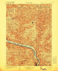
1908 Map of Lancaster
USGS Topo · Published 1918About this map
The Mississippi River valley dominates this early twentieth-century survey of Grant County, defining the border between Wisconsin and Iowa. Riverside communities like Cassville, Potosi, and North Buena Vista highlight the era's reliance on the water for transport and commerce. Inland, the seat at Lancaster serves as a hub for a landscape defined by deep valleys and high ridges, including Panther Hollow and Eagle Point.
Find a feature on this map
124 named features on this map. Tap any name to fly to it.
Don’t see what you’re looking for? This feature index may not catch every label — zoom into the map to look around manually.
Map Details
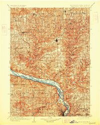
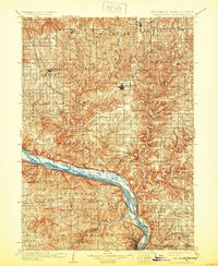
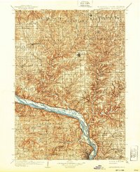
Editions of this 1908 Lancaster Map
5 editions found
Other maps of this area

1900 · Anamosa
USGS Topo · 1:125,000

1900 · Lancaster
USGS Topo · 1:125,000

1901 · Peosta
USGS Topo · 1:125,000

1902 · Mineral Point
USGS Topo · 1:125,000

1902 · Elkader
USGS Topo · 1:125,000

1903 · Waukon
USGS Topo · 1:125,000

1904 · Lancaster
USGS Topo · 1:125,000

1905 · Richland Center
USGS Topo · 1:125,000

1908 · Lancaster
USGS Topo · 1:125,000

1911 · Galena
USGS Topo · 1:62,500