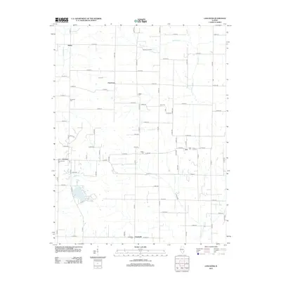
2012 Map of Lancaster
USGS Topo · Published 2012About this map
Helena, Petersburg, and Friendsville anchor a landscape defined by an intricate network of rural roads and watercourses in the early 21st century. The terrain is drained by systems such as Little Bonpas Cr, Storckman Cr, and Crawfish Cr, which weave between the rectangular grid of county roads. Industrial activity is represented by the West Ruark Oil Field in the northern portion of the quadrangle, while Mesa Lake provides a notable water feature to the southwest.
Find a feature on this map
78 named features on this map. Tap any name to fly to it.
Don’t see what you’re looking for? This feature index may not catch every label — zoom into the map to look around manually.
Map Details
Editions of this 2012 Lancaster Map
This is the sole edition of this map. No revisions or reprints were ever made.
Other maps of this area

1901 · Princeton
USGS Topo · 1:62,500

1903 · Princeton
USGS Topo · 1:62,500

1903 · Patoka
USGS Topo · 1:125,000

1904 · Mount Carmel
USGS Topo · 1:62,500

1911 · Sumner
USGS Topo · 1:62,500

1913 · Sumner
USGS Topo · 1:62,500

1915 · Vincennes
USGS Topo · 1:62,500

1944 · Vincennes
USGS Topo · 1:62,500

1956 · Vincennes
USGS Topo · 1:250,000

1957 · Vincennes
USGS Topo · 1:250,000