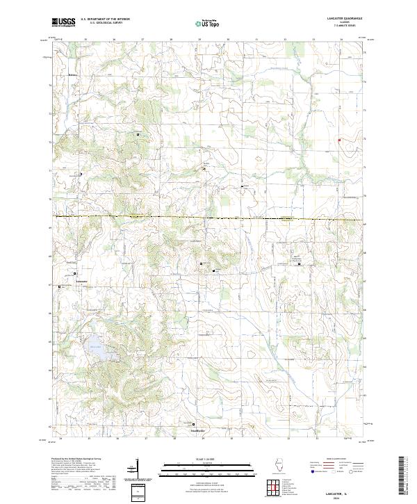
2024 Map of Lancaster
USGS Topo · Published 2024About this map
The boundary between Lawrence and Wabash counties defines the northern landscape of this agricultural region. Small settlements like Lancaster and Friendsville serve as local hubs, connected by a network of rural roads that follow the section lines of the Public Land Survey System. The area is dense with family and community burial grounds, reflecting generations of local history through sites such as the Harrison Cem, Ridgely Cem, and the Old Lancaster Cem.
Find a feature on this map
58 named features on this map. Tap any name to fly to it.
Don’t see what you’re looking for? This feature index may not catch every label — zoom into the map to look around manually.
Map Details
Editions of this 2024 Lancaster Map
This is the sole edition of this map. No revisions or reprints were ever made.
Other maps of this area

1901 · Princeton
USGS Topo · 1:62,500

1903 · Princeton
USGS Topo · 1:62,500

1903 · Patoka
USGS Topo · 1:125,000

1904 · Mount Carmel
USGS Topo · 1:62,500

1911 · Sumner
USGS Topo · 1:62,500

1913 · Sumner
USGS Topo · 1:62,500

1915 · Vincennes
USGS Topo · 1:62,500

1944 · Vincennes
USGS Topo · 1:62,500

1956 · Vincennes
USGS Topo · 1:250,000

1957 · Vincennes
USGS Topo · 1:250,000