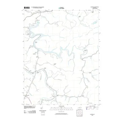
2010 Map of Lancer
USGS Topo · Published 2010About this map
Dewey Lake and its impressive Dewey Dam anchor the northern landscape of this Floyd County region, where the water's reach is defined by the Brandy Keg Dike. To the south, the Levisa Fork winds through a series of narrow valleys, connecting the small communities of Lancer, Emma, and Alvin. This area is characterized by a complex network of hollows and branches, such as Whiskey Hollow and Corn Fork Hollow, which have long shaped local settlement patterns and transportation. Local history and genealogy researchers will find several family-named landmarks and resting places, including the Mayo Cemetery and Lockhart Cemetery. Transportation infrastructure is notable for the inclusion of the Big Sandy Regional Airport in the northeast and recreational facilities like the Brandy Keg Boat Dock and Shawnee Campground that highlight the area's role as a regional outdoor destination.
Find a feature on this map
73 named features on this map. Tap any name to fly to it.
Don’t see what you’re looking for? This feature index may not catch every label — zoom into the map to look around manually.
Map Details
Editions of this 2010 Lancer Map
This is the sole edition of this map. No revisions or reprints were ever made.
Other maps of this area

1886 · Prestonsburg
USGS Topo · 1:125,000

1892 · Prestonsburg
USGS Topo · 1:125,000

1914 · Laynesville
USGS Topo · 1:48,000

1914 · Inez
USGS Topo · 1:48,000

1915 · Paintsville
USGS Topo · 1:48,000

1915 · Prestonsburg
USGS Topo · 1:62,500

1916 · Harold
USGS Topo · 1:62,500

1916 · Inez
USGS Topo · 1:62,500

1917 · Paintsville
USGS Topo · 1:62,500

1918 · Prestonsburg
USGS Topo · 1:62,500