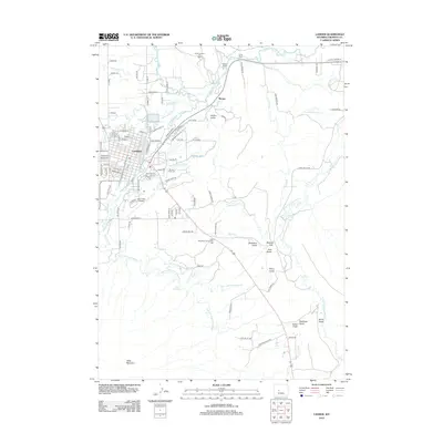
2012 Map of Lander
USGS Topo · Published 2012About this map
The Mississippi River serves as the central artery of this 1916 map, dividing St. Louis, Missouri, from the industrial hubs of Illinois like Granite City, Madison, and Venice. This period captures the region at a height of industrial and urban expansion, characterized by a massive network of rail lines including the Illinois Central RR, Wabash RR, and the St Louis and Belleville Electric Ry. Spanning the river, the iconic Eads Bridge and the Municipal Bridge connect the metropolitan core with the National Stock Yards and the burgeoning rail yards of Dupo. To the west, established suburbs like Kirkwood, Webster Groves, and Clayton are clearly defined, while green spaces such as Forest Park and Tower Grove Park provide respite from the dense urban grid. On the eastern bluffs, the ancient landmark of Monk's Mound stands in contrast to the modern infrastructure of Cahokia Creek.
Find a feature on this map
102 named features on this map. Tap any name to fly to it.
Don’t see what you’re looking for? This feature index may not catch every label — zoom into the map to look around manually.
Map Details
Editions of this 2012 Lander Map
This is the sole edition of this map. No revisions or reprints were ever made.
Other maps of this area

1952 · Hudson
USGS Topo · 1:24,000

1952 · Ray Lake
USGS Topo · 1:24,000

1952 · Lander SE
USGS Topo · 1:24,000

1952 · Lander
USGS Topo · 1:24,000

1952 · Lander NW
USGS Topo · 1:24,000

1953 · Fossil Hill
USGS Topo · 1:24,000

1953 · Weiser Pass
USGS Topo · 1:24,000

1953 · Mount Arter SE
USGS Topo · 1:24,000

1954 · Wolf Point
USGS Topo · 1:24,000

1955 · Lander
USGS Topo · 1:250,000