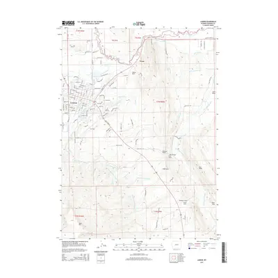
2015 Map of Lander
USGS Topo · Published 2015About this map
The Lander city street grid serves as a dense anchor for this Wyoming landscape, where the confluence of the North Popo Agie River, Middle Popo Agie River, and Little Popo Agie River dictates the region's development. Local infrastructure is defined by an extensive network of irrigation features, including the Grant Young Ditch, Taylor Ditch, and Nicol Table Mountain Ditch, which redirect water across the valley floor to support the outlying settlements of Wyopo and Lyons Valley.
Find a feature on this map
101 named features on this map. Tap any name to fly to it.
Don’t see what you’re looking for? This feature index may not catch every label — zoom into the map to look around manually.
Map Details
Editions of this 2015 Lander Map
This is the sole edition of this map. No revisions or reprints were ever made.
Other maps of this area

1952 · Hudson
USGS Topo · 1:24,000

1952 · Ray Lake
USGS Topo · 1:24,000

1952 · Lander SE
USGS Topo · 1:24,000

1952 · Lander
USGS Topo · 1:24,000

1952 · Lander NW
USGS Topo · 1:24,000

1953 · Fossil Hill
USGS Topo · 1:24,000

1953 · Weiser Pass
USGS Topo · 1:24,000

1953 · Mount Arter SE
USGS Topo · 1:24,000

1954 · Wolf Point
USGS Topo · 1:24,000

1955 · Lander
USGS Topo · 1:250,000