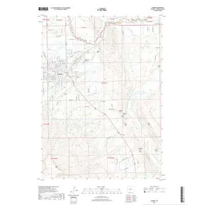
2017 Map of Lander
USGS Topo · Published 2017About this map
The Popo Agie River system and its complex network of irrigation channels define the landscape around Lander. This 2017 survey shows a region where water management is central to the community, evidenced by features like the Grant-Young Ditch, Taylor Ditch Extension, and the Nicol Table Mountain Ditch. The town itself is flanked by significant local landmarks, including Hunt Field and the Mount Hope Cem. To the east and south, the terrain rises toward the prominent Table Mtn and the Blue Ridge, cut by numerous drainages such as Deadman Gulch, Chittim Gulch, and Coal Gulch. This map provides a clear record of modern property lines and road networks, from established town streets like Amoretti St to the rural expanses of Lyons Valley, illustrating the persistent connection between the valley's water resources and its residential and agricultural development.
Find a feature on this map
85 named features on this map. Tap any name to fly to it.
Don’t see what you’re looking for? This feature index may not catch every label — zoom into the map to look around manually.
Map Details
Editions of this 2017 Lander Map
This is the sole edition of this map. No revisions or reprints were ever made.
Other maps of this area

1952 · Hudson
USGS Topo · 1:24,000

1952 · Ray Lake
USGS Topo · 1:24,000

1952 · Lander SE
USGS Topo · 1:24,000

1952 · Lander
USGS Topo · 1:24,000

1952 · Lander NW
USGS Topo · 1:24,000

1953 · Fossil Hill
USGS Topo · 1:24,000

1953 · Weiser Pass
USGS Topo · 1:24,000

1953 · Mount Arter SE
USGS Topo · 1:24,000

1954 · Wolf Point
USGS Topo · 1:24,000

1955 · Lander
USGS Topo · 1:250,000