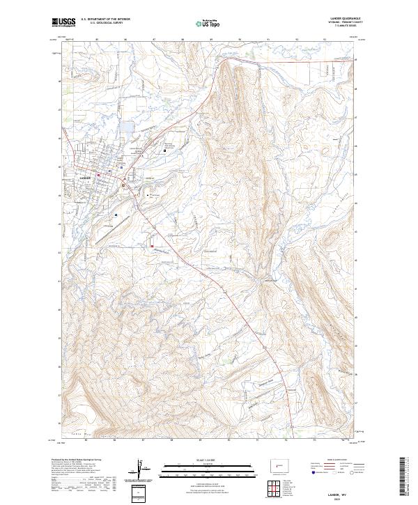
2023 Map of Lander
USGS Topo · Published 2023About this map
Lander serves as the focal point of this Fremont County landscape, situated where the Middle Popo Agie River and North Popo Agie River meet. The town's civic infrastructure is well-defined, anchored by the Fremont County Courthouse and the Central Wyoming College Lander Campus. An extensive network of irrigation ditches, such as the Sioux Ditch, Grant-Young Ditch, and Taylor Ditch, illustrates a sophisticated water management system designed to support agriculture in the high desert environment. To the south and east, the terrain becomes more varied as it rises toward Table Mtn and the Blue Ridge, with dramatic geological features like Batrum Gap and Deadman Gulch marking the drainages. Genealogists and local historians will find significant detail in the presence of Mount Hope Cem and the Wyoming State Training School Cem, along with numerous named gulches and draws that define the local topography.
Find a feature on this map
103 named features on this map. Tap any name to fly to it.
Don’t see what you’re looking for? This feature index may not catch every label — zoom into the map to look around manually.
Map Details
Editions of this 2023 Lander Map
This is the sole edition of this map. No revisions or reprints were ever made.
Other maps of this area

1952 · Hudson
USGS Topo · 1:24,000

1952 · Ray Lake
USGS Topo · 1:24,000

1952 · Lander SE
USGS Topo · 1:24,000

1952 · Lander
USGS Topo · 1:24,000

1952 · Lander NW
USGS Topo · 1:24,000

1953 · Fossil Hill
USGS Topo · 1:24,000

1953 · Weiser Pass
USGS Topo · 1:24,000

1953 · Mount Arter SE
USGS Topo · 1:24,000

1954 · Wolf Point
USGS Topo · 1:24,000

1955 · Lander
USGS Topo · 1:250,000