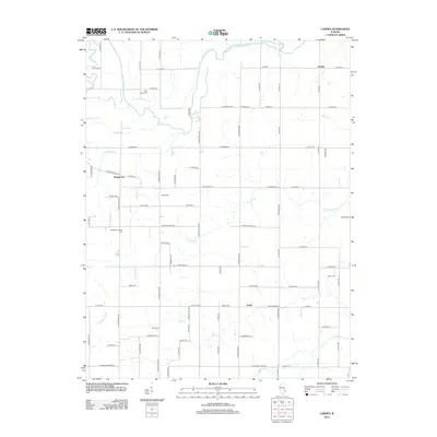
2012 Map of Landes
USGS Topo · Published 2012About this map
The Embarras River meanders through this portion of eastern Illinois, shaping a landscape defined by its riparian corridors and long-standing agricultural settlements. Near the river's bend lies Landes, while the communities of Stringtown and Amity anchor the central and southern reaches of the quadrangle. The terrain is intricately drained by numerous waterways including The Slough, Paul Cr, and Dead River, creating a complex network of seasonal and permanent watercourses that have historically influenced road placement and property boundaries.
Find a feature on this map
79 named features on this map. Tap any name to fly to it.
Don’t see what you’re looking for? This feature index may not catch every label — zoom into the map to look around manually.
Map Details
Editions of this 2012 Landes Map
This is the sole edition of this map. No revisions or reprints were ever made.
Other maps of this area

1910 · Hardinville
USGS Topo · 1:62,500

1911 · Sumner
USGS Topo · 1:62,500

1913 · Sumner
USGS Topo · 1:62,500

1941 · Newton
USGS Topo · 1:62,500

1943 · Newton
USGS Topo · 1:62,500

1949 · Olney
USGS Topo · 1:62,500

1956 · Vincennes
USGS Topo · 1:250,000

1957 · Vincennes
USGS Topo · 1:250,000

1958 · Vincennes
USGS Topo · 1:250,000

1958 · Belleville
USGS Topo · 1:250,000