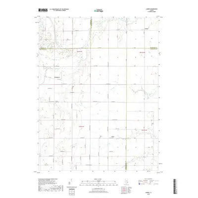
2018 Map of Landes
USGS Topo · Published 2018About this map
Landes and Stringtown anchor this agricultural landscape in Southeastern Illinois where the borders of Jasper, Crawford, Richland, and Lawrence counties converge. The northeastern portion of the sheet is dominated by the meandering Embarras River, while a complex network of waterways including The Slough, Paul Cr, and Dead River weave through the bottomlands. These water features dictate the rural road grid, which is dotted with numerous family and community burial grounds that provide a clear record of local settlement history.
Find a feature on this map
79 named features on this map. Tap any name to fly to it.
Don’t see what you’re looking for? This feature index may not catch every label — zoom into the map to look around manually.
Map Details
Editions of this 2018 Landes Map
This is the sole edition of this map. No revisions or reprints were ever made.
Other maps of this area

1910 · Hardinville
USGS Topo · 1:62,500

1911 · Sumner
USGS Topo · 1:62,500

1913 · Sumner
USGS Topo · 1:62,500

1941 · Newton
USGS Topo · 1:62,500

1943 · Newton
USGS Topo · 1:62,500

1949 · Olney
USGS Topo · 1:62,500

1956 · Vincennes
USGS Topo · 1:250,000

1957 · Vincennes
USGS Topo · 1:250,000

1958 · Vincennes
USGS Topo · 1:250,000

1958 · Belleville
USGS Topo · 1:250,000