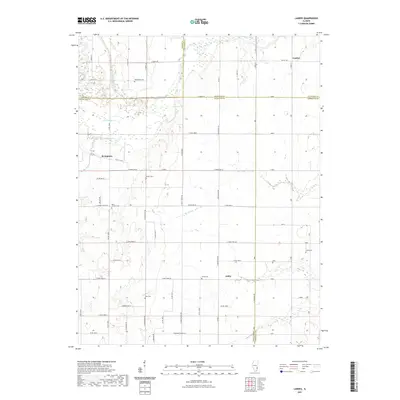
2021 Map of Landes
USGS Topo · Published 2021About this map
The Embarras River meanders through this portion of Illinois, creating a complex borderland where Jasper, Crawford, Richland, and Lawrence counties converge. The landscape is characterized by its agricultural grid, intersected by natural watercourses like Douglas Cr and Calfkiller Cr. In the northern reach, the small settlement of Landes sits near the river's edge, while Stringtown and Amity serve as interior rural hubs.
Find a feature on this map
60 named features on this map. Tap any name to fly to it.
Don’t see what you’re looking for? This feature index may not catch every label — zoom into the map to look around manually.
Map Details
Editions of this 2021 Landes Map
This is the sole edition of this map. No revisions or reprints were ever made.
Other maps of this area

1910 · Hardinville
USGS Topo · 1:62,500

1911 · Sumner
USGS Topo · 1:62,500

1913 · Sumner
USGS Topo · 1:62,500

1941 · Newton
USGS Topo · 1:62,500

1943 · Newton
USGS Topo · 1:62,500

1949 · Olney
USGS Topo · 1:62,500

1956 · Vincennes
USGS Topo · 1:250,000

1957 · Vincennes
USGS Topo · 1:250,000

1958 · Vincennes
USGS Topo · 1:250,000

1958 · Belleville
USGS Topo · 1:250,000