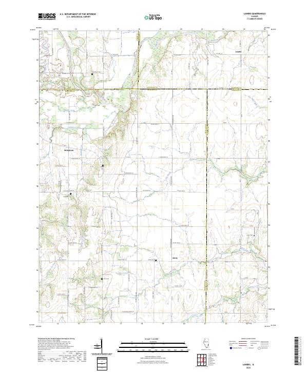
2024 Map of Landes
USGS Topo · Published 2024About this map
The Embarras River meanders across the border of Jasper and Crawford counties in this contemporary Illinois landscape, creating a complex hydrologic network of oxbows and seasonal channels. Distinctive water features like the Dead River and The Slough indicate a flood-prone bottomland, while the higher ground is partitioned by a rigorous grid of section-line roads such as Co Rd 1900 N and E Tank Farm Ln.
Find a feature on this map
46 named features on this map. Tap any name to fly to it.
Don’t see what you’re looking for? This feature index may not catch every label — zoom into the map to look around manually.
Map Details
Editions of this 2024 Landes Map
This is the sole edition of this map. No revisions or reprints were ever made.
Other maps of this area

1910 · Hardinville
USGS Topo · 1:62,500

1911 · Sumner
USGS Topo · 1:62,500

1913 · Sumner
USGS Topo · 1:62,500

1941 · Newton
USGS Topo · 1:62,500

1943 · Newton
USGS Topo · 1:62,500

1949 · Olney
USGS Topo · 1:62,500

1956 · Vincennes
USGS Topo · 1:250,000

1957 · Vincennes
USGS Topo · 1:250,000

1958 · Vincennes
USGS Topo · 1:250,000

1958 · Belleville
USGS Topo · 1:250,000