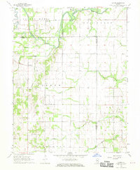
1968 Map of Landes
USGS Topo · Published 1970About this map
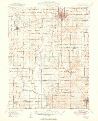
The Embarras River winds through the northern portion of this Illinois landscape, creating a complex of oxbows and wetlands including Horseshoe Pond and the Dead River. Settlement patterns follow the higher ground away from the floodplains, marked by small clusters like Landes and Stringtown. This area is particularly dense with community landmarks that provide significant value for local genealogy, including Amity Chapel, St Joseph Sch, and the Stoltz Cem. The map captures a transition in land use, showing several Oil Well sites scattered among traditional farmsteads and rural townships like German and Petty. Tributaries such as Catflicker Creek and Bugaboo Creek drain the surrounding fields, illustrating the agricultural character of the region in the late 1960s.
Find a feature on this map
37 named features on this map. Tap any name to fly to it.
Don’t see what you’re looking for? This feature index may not catch every label — zoom into the map to look around manually.
Map Details
Editions of this 1968 Landes Map
This is the sole edition of this map. No revisions or reprints were ever made.
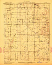
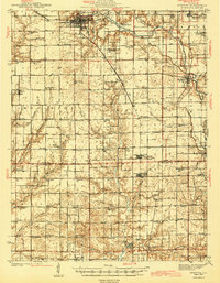
Other maps of this area
1910 · Hardinville
USGS Topo · 1:62,500

1911 · Sumner
USGS Topo · 1:62,500

1913 · Sumner
USGS Topo · 1:62,500
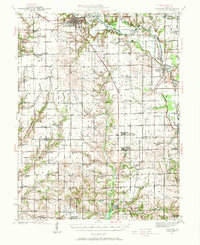
1941 · Newton
USGS Topo · 1:62,500
1943 · Newton
USGS Topo · 1:62,500
1949 · Olney
USGS Topo · 1:62,500

1956 · Vincennes
USGS Topo · 1:250,000

1957 · Vincennes
USGS Topo · 1:250,000

1958 · Vincennes
USGS Topo · 1:250,000

1958 · Belleville
USGS Topo · 1:250,000