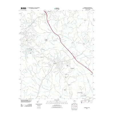
2011 Map of Landrum
USGS Topo · Published 2011About this map
The borderlands between North and South Carolina are defined here by the descent from Bird Mountain and its surrounding ridges toward the fertile basins of the North Pacolet River and South Pacolet River. The city of Landrum serves as a central hub, where the intersection of Us-176 and SC-14 anchors a landscape of small settlements like Bennetts, Springdale, and Ingleside. This geography is shaped by water management and localized industry, evidenced by numerous small impoundments such as Mählers Pond Dam and the larger Lake Lanier to the west.
Find a feature on this map
46 named features on this map. Tap any name to fly to it.
Don’t see what you’re looking for? This feature index may not catch every label — zoom into the map to look around manually.
Map Details
Editions of this 2011 Landrum Map
This is the sole edition of this map. No revisions or reprints were ever made.
Other maps of this area

1907 · Saluda
USGS Topo · 1:125,000

1935 · Fishtop
USGS Topo · 1:24,000

1946 · Cliffield Mtn
USGS Topo · 1:24,000

1947 · Cliffield Mtn.
USGS Topo · 1:24,000

1955 · Knoxville
USGS Topo · 1:250,000

1957 · Knoxville
USGS Topo · 1:250,000

1959 · Lake Lure
USGS Topo · 1:62,500
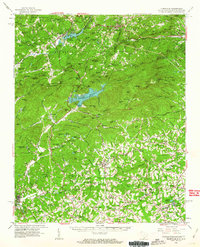
1959 · Tigerville
USGS Topo · 1:62,500

1960 · Knoxville
USGS Topo · 1:250,000

1961 · Inman
USGS Topo · 1:62,500