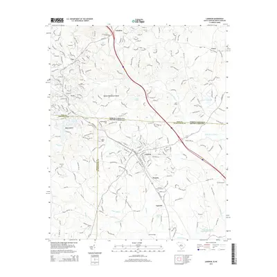
2014 Map of Landrum
USGS Topo · Published 2014About this map
The North Carolina-South Carolina border bisects this landscape, where the Blue Ridge foothills transition into the Piedmont plateau. The city of Landrum serves as a primary hub in Spartanburg County, situated along the SC-14 and I-26 corridor. This survey documents a complex network of local watercourses, including the North Pacolet River and Wolfe Cr, which drain the varied topography of Bird Mtn and Mockingbird Hill.
Find a feature on this map
46 named features on this map. Tap any name to fly to it.
Don’t see what you’re looking for? This feature index may not catch every label — zoom into the map to look around manually.
Map Details
Editions of this 2014 Landrum Map
This is the sole edition of this map. No revisions or reprints were ever made.
Other maps of this area

1907 · Saluda
USGS Topo · 1:125,000

1935 · Fishtop
USGS Topo · 1:24,000

1946 · Cliffield Mtn
USGS Topo · 1:24,000

1947 · Cliffield Mtn.
USGS Topo · 1:24,000

1955 · Knoxville
USGS Topo · 1:250,000

1957 · Knoxville
USGS Topo · 1:250,000

1959 · Lake Lure
USGS Topo · 1:62,500
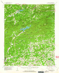
1959 · Tigerville
USGS Topo · 1:62,500

1960 · Knoxville
USGS Topo · 1:250,000

1961 · Inman
USGS Topo · 1:62,500