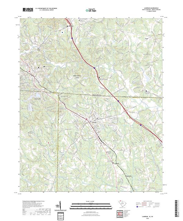
2024 Map of Landrum
USGS Topo · Published 2024About this map
Landrum sits at a geographic crossroads where the foothills of the Blue Ridge meet the South Carolina and North Carolina state line. This 2024 survey captures the intricate boundary network where Polk, Greenville, and Spartanburg counties converge. The landscape is defined by the drainage basins of the North Pacolet River and South Pacolet River, which carve through the terrain near landmarks like Bird Mtn and Peniel.
Find a feature on this map
44 named features on this map. Tap any name to fly to it.
Don’t see what you’re looking for? This feature index may not catch every label — zoom into the map to look around manually.
Map Details
Editions of this 2024 Landrum Map
This is the sole edition of this map. No revisions or reprints were ever made.
Other maps of this area

1907 · Saluda
USGS Topo · 1:125,000

1935 · Fishtop
USGS Topo · 1:24,000

1946 · Cliffield Mtn
USGS Topo · 1:24,000

1947 · Cliffield Mtn.
USGS Topo · 1:24,000

1955 · Knoxville
USGS Topo · 1:250,000

1957 · Knoxville
USGS Topo · 1:250,000

1959 · Lake Lure
USGS Topo · 1:62,500
1959 · Tigerville
USGS Topo · 1:62,500

1960 · Knoxville
USGS Topo · 1:250,000

1961 · Inman
USGS Topo · 1:62,500