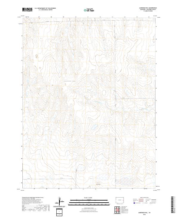
2022 Map of Landsman Hill
USGS Topo · Published 2022About this map
Landsman Hill serves as a prominent landmark in this section of the High Plains, where the terrain is defined by the intermittent flows of the Smoky Hill River and Coon Cr. The landscape is etched with a network of section-line roads, such as Co RD 34 and Co RD V, illustrating the orderly grid of the Public Land Survey System that governs this agricultural and ranching region. To the south, the distinctive Agate Mound rises above the surrounding flats, offering a geological focal point in an otherwise broad expanse of prairie. This map captures the modern spatial organization of Cheyenne County, showing how historical property boundaries like t12s r46w continue to dictate the placement of transportation routes and land use patterns.
Find a feature on this map
13 named features on this map. Tap any name to fly to it.
Don’t see what you’re looking for? This feature index may not catch every label — zoom into the map to look around manually.
Map Details
Editions of this 2022 Landsman Hill Map
This is the sole edition of this map. No revisions or reprints were ever made.
Other maps of this area

1891 · Kit Carson
USGS Topo · 1:125,000

1892 · Cheyenne Wells
USGS Topo · 1:125,000

1893 · Kit Carson
USGS Topo · 1:125,000

1894 · Cheyenne Wells
USGS Topo · 1:125,000

1954 · Limon
USGS Topo · 1:250,000

1954 · Lamar
USGS Topo · 1:250,000

1957 · Limon
USGS Topo · 1:250,000

1958 · Limon
USGS Topo · 1:250,000

1958 · Lamar
USGS Topo · 1:250,000

1969 · Alpine Ranch
USGS Topo · 1:24,000