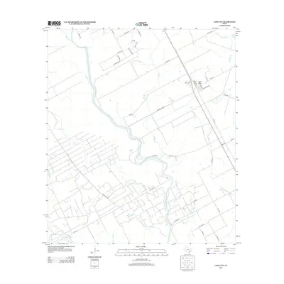
2013 Map of Lane City
USGS Topo · Published 2013About this map
Lane City sits at a geographic crossroads in Wharton County, where the meandering Colorado River defines the local landscape and agriculture. This 2013 topographic survey illustrates an intricate network of drainage and irrigation features, most notably the Pierce Canal and numerous creeks like Jones Cr and Jarvis Cr that crisscross the coastal plains. The road names suggest a deep connection to local ranching and industry, with corridors such as Pierce Ranch Rd and Pumping Station Rd hinting at the large-scale land management required in this river-bottom environment. The residential grid of the settlement remains concentrated east of the river, while the surrounding territory is divided into large agricultural blocks and utility easements. Researchers will find a clear record of modern property access and water management infrastructure, from Water Hole Cr in the northeast to the various unnamed canals supporting the region's farms.
Find a feature on this map
45 named features on this map. Tap any name to fly to it.
Don’t see what you’re looking for? This feature index may not catch every label — zoom into the map to look around manually.
Map Details
Editions of this 2013 Lane City Map
This is the sole edition of this map. No revisions or reprints were ever made.
Other maps of this area
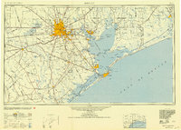
1950 · Houston
USGS Topo · 1:250,000
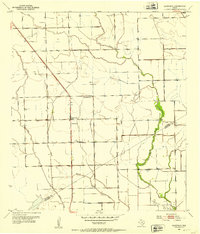
1951 · Danevang
USGS Topo · 1:24,000
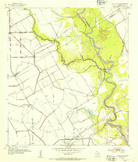
1952 · Lane City SE
USGS Topo · 1:24,000
1952 · Pledger
USGS Topo · 1:24,000
1952 · Lane City
USGS Topo · 1:24,000
1952 · Van Vleck
USGS Topo · 1:24,000
1952 · Pierce
USGS Topo · 1:24,000
1953 · Wharton
USGS Topo · 1:24,000
1953 · Glen Flora
USGS Topo · 1:24,000
1953 · Boling
USGS Topo · 1:24,000