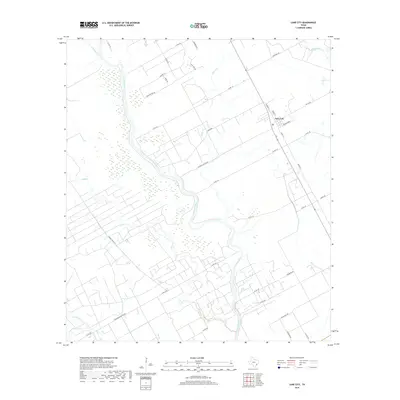
2019 Map of Lane City
USGS Topo · Published 2019About this map
The Colorado River serpentines through this coastal prairie landscape in Wharton County, defining a complex network of wetlands and drainage basins. Central to the area is Lane City, a small settlement positioned near the intersection of several farm-to-market and county routes. The terrain is marked by significant hydrological features such as Jones Cr and Jarvis Cr, which weave through agricultural tracts and ranch lands. The presence of Pumping Station Rd suggests the local importance of water management for the surrounding fields. Large-scale land use is evident in the naming of regional thoroughfares like Pierce Ranch Rd, hinting at the area's deep-rooted ranching heritage. From the wooded stretches of Bear Bottom Dr to the lowlands along Hollywood Bottom Rd, the map illustrates a landscape where the river's path continues to dictate the local geography and transportation network.
Find a feature on this map
40 named features on this map. Tap any name to fly to it.
Don’t see what you’re looking for? This feature index may not catch every label — zoom into the map to look around manually.
Map Details
Editions of this 2019 Lane City Map
This is the sole edition of this map. No revisions or reprints were ever made.
Other maps of this area

1950 · Houston
USGS Topo · 1:250,000

1951 · Danevang
USGS Topo · 1:24,000

1952 · Lane City SE
USGS Topo · 1:24,000

1952 · Pledger
USGS Topo · 1:24,000

1952 · Lane City
USGS Topo · 1:24,000

1952 · Van Vleck
USGS Topo · 1:24,000

1952 · Pierce
USGS Topo · 1:24,000

1953 · Wharton
USGS Topo · 1:24,000

1953 · Glen Flora
USGS Topo · 1:24,000

1953 · Boling
USGS Topo · 1:24,000